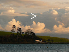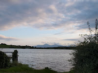

Since August was apparently the dullest/wettest on record depending on where you live, we thought it would be interesting to revisit the scene of the first photograph, taken less than two weeks ago near my mother’s house at Farranfad (20 minutes away on the mainland), immediately after the worst flooding– and do a before and after.
Curiously, it’s known that before a tidal barrier was established on the Quoile estuary at the southwest corner of Strangford Lough, three miles as the crow flies from where these photographs were taken, a large area of what is now farmland was effectively part of the lough system (and incidentally the town of Downpatrick, landlocked today, was surrounded on three sides by water) - so it feels like a glimpse of the past..